
Centennial ZIP Coverage
The September 16, 2025 City Council packet records a six-ZIP issue inside Centennial. City materials discuss 80015, 80016, 80111, 80112, 80121, and 80122 in Centennial contexts, while the packet describes shared geography and possible last-line changes. The table is therefore a research starting point, not a final USPS boundary statement.
Use the official USPS lookup for a particular street line. Use the county parcel and GIS systems for city jurisdiction. The post-office field below points back to USPS because the research did not establish one named post office for every candidate ZIP.
| ZIP | Areas Covered | Post Office Check | Notes |
|---|---|---|---|
| 80015 | Centennial and shared east-side postal geography | USPS lookup | Verify last line and parcel |
| 80016 | Centennial context in city materials | USPS lookup | Association needs street-level check |
| 80111 | Centennial business and address examples | USPS lookup | Shared municipal geography possible |
| 80112 | Centennial and south-metro shared geography | USPS lookup | Check the city field and parcel |
| 80121 | Centennial context in the ZIP packet | USPS lookup | Last-line association can differ |
| 80122 | Centennial and nearby south-metro geography | USPS lookup | Verify every address live |
Do not describe any row as a complete list of people or homes. The city packet itself makes the boundary problem the useful local fact.
The City Council packet is the local source for the six-ZIP discussion and the proposed last-line changes. Cite it by meeting date and status, because a discussion of a postal change is not proof that USPS has completed it.
Six Centennial ZIPs Share Geography
The six-ZIP question affects more than mail. A postal last line can be different from a city service boundary, county election district, school district, fire district, water district, neighborhood polygon, or Census geography. A record from one of those systems can be accurate within its own layer and still appear inconsistent with another.
The City Council packet identifies 80015, 80121, 80112, and 80122 as preferred last-line-change candidates in its discussion, while official city examples show 80016 and 80111. The research does not establish that USPS has completed one uniform change for all six. A ZIP code directory should carry the packet date and the live USPS result beside any address claim.
Centennial’s city boundary covers about 29.72 square miles in Census context and extends along a south-metro landscape where postal and municipal patterns overlap. The shape of a ZIP does not tell you which side of a city line a parcel sits on.
USPS Fields for ZIP Checks
The USPS tool is a standardization step in a ZIP code directory. Its address route asks for a company when relevant, street address, city, state, and ZIP. A second route searches by city and state. USPS warns that the result is not proof that a person or company is at an address, so it should not be used as an occupancy statement.
Enter the street line as it appears in the source, compare the standardized result, and save the returned ZIP and postal city. Then move to the county assessor for the situs and parcel ID. This two-stage method catches a common error: using the postal city as if it were the legal municipality.
| Company | Optional organization line for an address search. |
|---|---|
| Street Address | Street number and name to standardize. |
| City | Postal city supplied with the address. |
| State | Colorado for the Centennial research area. |
| ZIP | Returned or supplied postal code used for delivery context. |
The USPS capture shows the fields that belong to mailing format, not a resident search.
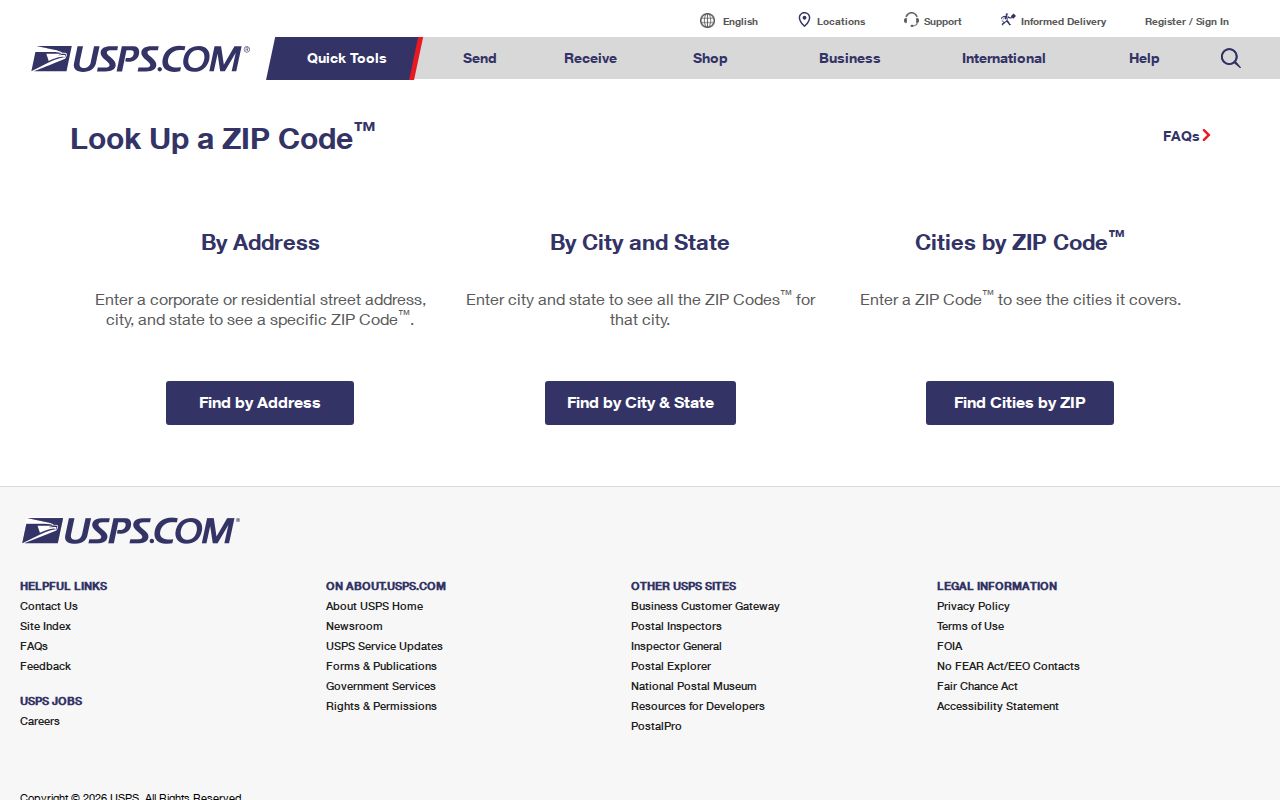
Use the standardized line as the input to the next custodian, not as the answer to who is associated with the address.
Find Centennial Residents by ZIP
A ZIP-keyed search should move from broad geography to a defined official record. Start with the ZIP and a full street line, then test the address against the parcel and map. If the goal is a dated registration question, use the county list that exposes the relevant status and date. If the goal is population or demographic context, use Census estimates and ZCTAs rather than person-level records.
Follow this sequence to keep the ZIP code directory from becoming a false household list.
- Standardize the street through USPS and save the returned postal city and ZIP.
- Search Arapahoe County Parcel Search by number, range, street name, unit, PIN, or AIN.
- Open Address / Parcel Info to check situs, jurisdiction, and district caveats.
- Use the dated voter list, recorded-document index, or city request path that fits the question.
- Write the result as a ZIP, parcel, voter, owner, or historical relationship, with the source date attached.
A ZIP can narrow a list, but it cannot supply the identity controls that a parcel ID, case number, or voter-file status provides.
Centennial ZIP Search by Parcel
The county parcel record is the boundary check after a ZIP search. It can show AIN, PIN, owner list, ownership type, situs address and city, owner mailing address, neighborhood code, legal description, land use, values, sales, building fields, and links to map or tax information. Those fields belong to a property record and should remain labeled that way.
ArapaMAP adds parcel outlines, aerial and street basemaps, measurement, selection radius, buffers, political and service layers, and print controls. The map can show that a postal city and a municipal boundary differ. Large or multipart parcels may cross a boundary, and the Address / Parcel Info tool may show only the first of several situs addresses.
The Centennial street directory takes over once the ZIP has been narrowed to a street or parcel. Its address chain can then route to the deed index, voter list, city permit record, or historical street section without repeating the ZIP analysis.
Note: Save the ZIP, postal city, situs city, parcel ID, and jurisdiction as separate fields.
ZIP Codes Versus City Limits
A ZIP code is a delivery geography. A city limit is a municipal boundary. A ZCTA is a generalized Census polygon. An HOA or neighborhood is a civic layer. A school, fire, water, or council district is another overlay. The Centennial ZIP code directory is most accurate when it says which layer a number belongs to.
Use Census ZCTA guidance for statistical boundaries and Centennial Maps or ArapaMAP for local map context. Neither should be treated as a public list of residents. The same street can carry a postal last line that names a neighboring community while the parcel’s jurisdiction remains Centennial.
- ZIP versus ZIP+4
- A ZIP is the broad postal code; ZIP+4 adds delivery detail and still does not identify an occupant.
- PO-box ZIP
- A postal code used for a box or delivery facility rather than a specific street residence.
- Unique ZIP
- A code assigned to one organization or special delivery pattern, not a general neighborhood.
- Carrier route
- A delivery route inside the postal system, not a city, parcel, or household boundary.
Postal layer
USPS formats a delivery line and supplies ZIP context. Its result is not proof of a person or company at the address.
Parcel layer
Arapahoe County and GIS identify situs, parcel, legal description, and jurisdiction. The parcel record is still not proof of occupancy.
Centennial ZCTAs and ZIPs
QuickFacts and ZCTA data can add population and geography context to a ZIP code directory. Census QuickFacts estimates 108,658 Centennial residents on July 1, 2025, compared with 108,418 in the 2020 Census and 100,377 in 2010. Those figures differ by date and method. They describe a population, not a named resident roll.
The Census guidance says ZCTAs are generalized from ZIP-like delivery geography. They are useful for statistical comparison, but they do not reproduce USPS routes or define an exact address list. A city estimate on a neighborhood page and a Census enumeration should be identified by source and date.
Use the number to frame a geographic question, then return to the parcel, voter, city, or library custodian for a record-level answer.
Population data and registration data answer different questions in a ZIP-linked search.
The ZCTA guidance shows why a statistical polygon should not be read as a delivery route or resident list.
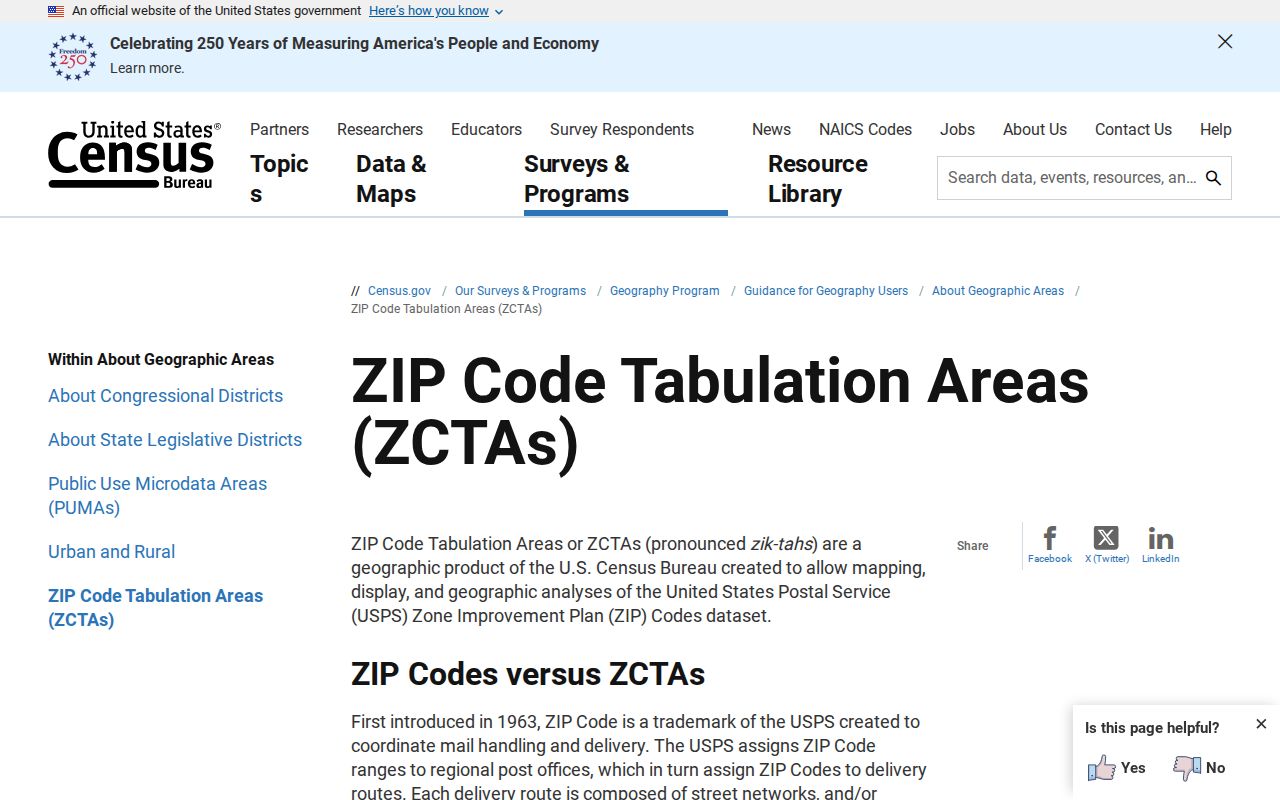
The ZCTA image belongs beside the population and geography distinction, where its generalized boundaries can be compared with a live postal result.
The Colorado GoVote portal adds another kind of ZIP-linked source, but its fields are registration fields rather than a population count.
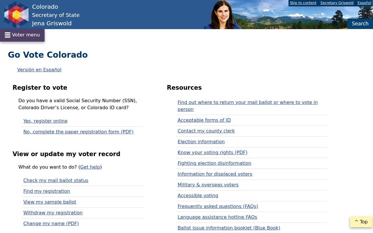
GoVote helps with statewide registration services and county links. It does not turn a ZIP into a complete list of current residents.
Centennial Voter Files by ZIP
Arapahoe voter files can be filtered or ordered by criteria such as precinct, district, party, active status, and election history, but the research does not establish a complete ZIP-level household dataset. The basic list is updated each weekday except holidays. Custom list fees are listed as $25 for CSV, $35 for Excel, and $0.25 per printed page.
Confidential voters, preregistered voters under 18, and protected fields are excluded. A name in a ZIP file means the person was registered in the disclosed scope at the file date. It does not establish present occupancy, household size, or how a person voted.
Use the Arapahoe voter lists page for the file descriptions, update cadence, custom criteria, and order route. Save the product name and date with any result.
Centennial Population by Date
Numbers in a ZIP code directory should carry a date. The 2010 Census count, the 2020 enumeration, the 2025 QuickFacts estimate, and the city neighborhood page’s approximate population are not interchangeable. A change can reflect growth, estimate method, boundary treatment, or a different measurement date.
Centennial’s neighborhood page also identifies Littleton Public Schools and Cherry Creek School District, with more than 50 schools in or serving the city. School boundaries are not ZIP boundaries. A ZIP, school district, HOA, and city council district can all point to different geographic sets.
When comparing a ZIP to a population figure, cite the Census page, city page, table date, and geography. Do not turn a statistical number into a count of named people.
Safe Limits for a ZIP Directory
A ZIP code can help find a parcel, compare neighborhoods, or choose a voter-file product. It cannot identify a current occupant, prove a person lives in Centennial, or replace an official boundary check. USPS expressly warns that its result is not proof that a person or company is at an address. Census ZCTAs carry a similar geographic limitation.
Use the Colorado Privacy Act and custodian rules alongside public-record research. Omit personal details that do not answer the question, preserve the source date, and label postal, municipal, parcel, voter, neighborhood, and statistical fields separately.
Lawful personal use. Use a Centennial ZIP code directory for address standardization, family history, civic geography, or a lawful personal research question. Do not use a ZIP, name, or address combination to stalk, harass, intimidate, or harm anyone.
A defensible ZIP result is a small, dated geography note that points to the next custodian. It is not a household list.