
Centennial Neighbors by Block
A block lookup should begin with the source that matches the meaning of “neighbor.” A map can show adjacent parcels. The assessor can show an owner of record and mailing address. The voter file can show a dated registration relationship. The city’s HOA layer can name a neighborhood polygon. A historical directory can show earlier street households. Those are useful neighbor clues, but they are not one current household list.
The coverage table keeps the layers apart. It also shows why a parcel map is usually the first step: without a parcel ID and jurisdiction, names from nearby records can be assigned to the wrong address.
| Source | What It Shows About a Block | Access |
|---|---|---|
| ArapaMAP | Parcel outlines, adjacent geography, districts, map layers | Free viewer |
| Parcel record | Owner, mailing address, situs, legal description | Free portal |
| Voter list | Dated registration, status, precinct, district, history | List rules apply |
| HOA and civic layer | Neighborhood or association polygon and name | Public GIS layer |
| Historical street section | Past households or businesses by address | Library collection and access rules |
Owners and occupants are not interchangeable. A mailing address may be distant, a parcel may contain several addresses, and an HOA polygon identifies geography rather than membership. Use a result as “owner of record,” “registered at,” or “within the neighborhood layer.”
Define a Centennial Neighbor Set
“Neighbor” can mean the parcel next door, every parcel on a street segment, the homes inside an HOA or civic-association polygon, or the people assigned to the same service district. A school, fire, water, council, and ZIP layer can add context but may draw a different boundary. The result should say which definition was used.
The Centennial Maps page links property search, districts, and map categories. Arapahoe County GIS supplies parcel and address information. A source that is broad enough for civic geography may be too broad for an adjacent-parcel question.
Start with one address, one parcel, and one date. If the goal shifts to a whole named street, use the Centennial street directory chain. If the goal is a single person, use a role-specific resident lookup instead of expanding the block.
Map Centennial Adjacent Parcels
ArapaMAP supports selection, measurement, radius circles, buffers, parcel identification, imports, and print controls. For a neighbor lookup, select the starting parcel, inspect the adjoining outlines, and record the parcel ID and legal description for each candidate. Use the map’s layers to understand roads, districts, and boundary lines.
The Address / Parcel Info tool can return an interior reference point and jurisdiction information. ArapaMAPLite offers a lighter map route when the full viewer is unnecessary. Large or multipart parcels may cross a boundary. A commercial or multifamily parcel can carry several situs addresses while the tool shows only the first in the assessor database. The map is a routing tool, not proof that an owner or mailing address is an occupant.
- Enter the starting address in the county address or parcel tool and save the situs, PIN or AIN, and jurisdiction.
- Open the parcel in ArapaMAP and inspect adjacent outlines, roads, districts, and the selected layer.
- Open each candidate parcel in the assessor portal and label owner, mailing address, situs, and legal description separately.
- Use a dated voter file, city record, or historical street page only when that record category answers the next question.
The county GIS landing page shows the larger set of map and data tools that support the address step.
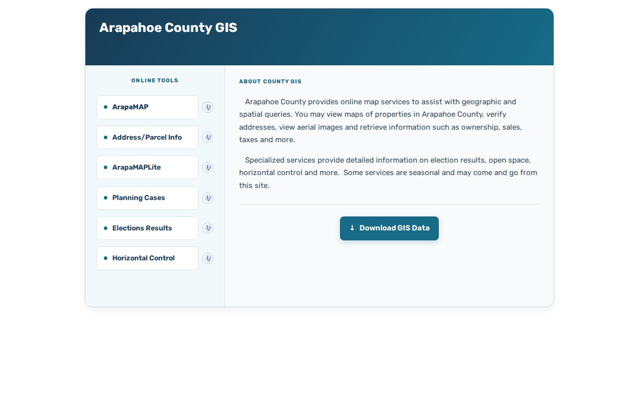
The GIS image belongs beside the parcel method because an adjacent line on a map still needs a parcel record and source date.
Centennial HOA Geography
The official Centennial HOA and civic-association layer is a strong geography source for a neighbor lookup. Its ArcGIS service exposes polygons and names for HOAs, civic associations, and neighborhoods. The layer can show whether an address sits inside a named area, but the polygon is not a membership list and may have naming or registration gaps.
The city-hosted HOA list adds association names and websites or “No Website” notes. Use it to choose a public contact path or understand the neighborhood label in a planning or meeting record. Do not infer that every parcel inside a polygon is a member-owned property or that every household appears on an association page.
The map layer gives neighbors a civic vocabulary without exposing private household information.
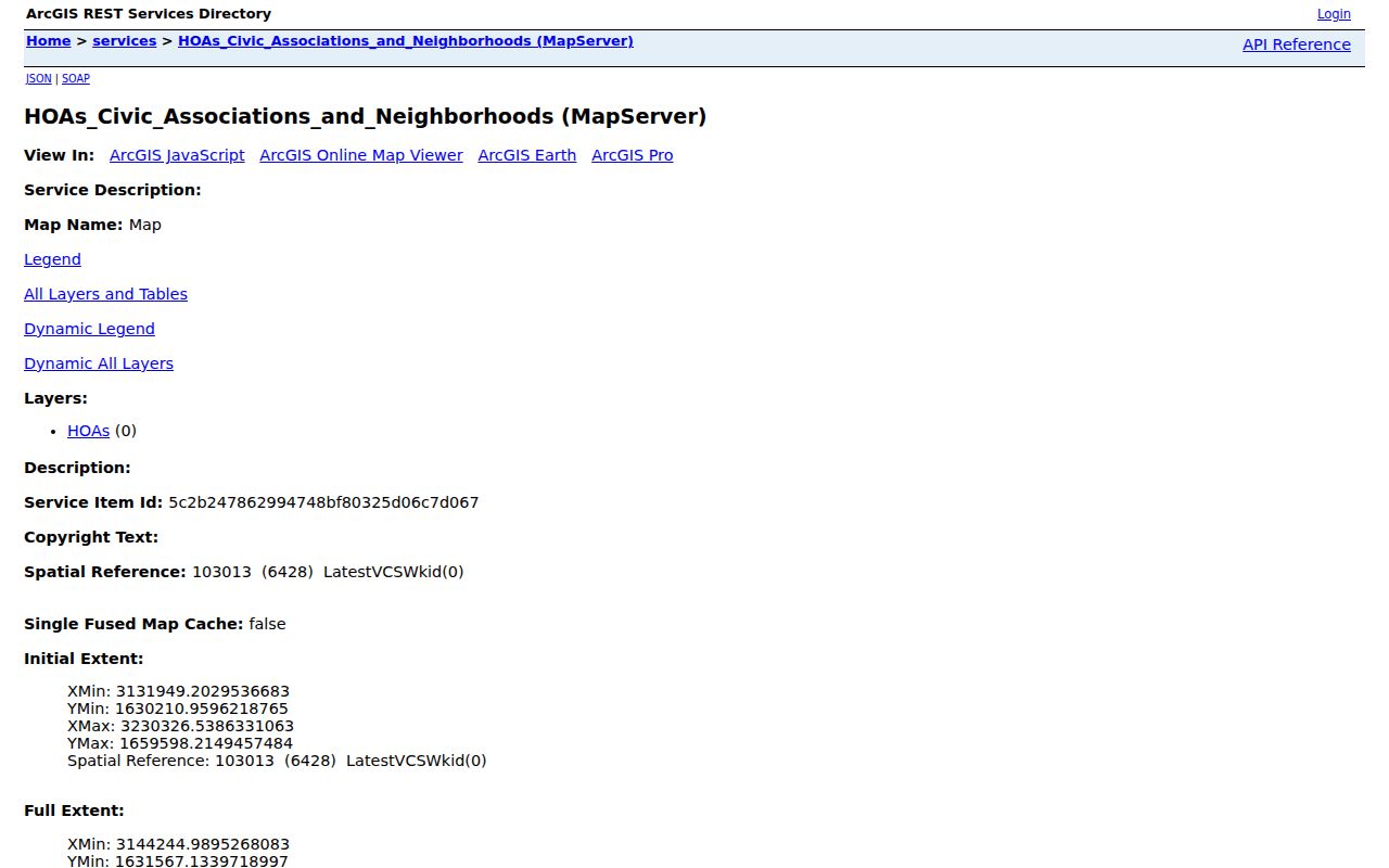
The HOA image should be cited as a city GIS layer, with its name and capture date, rather than as proof of association membership.
Centennial Neighborhood Names
Named areas help orient a block when a street crosses a larger community. The research inventory identifies names such as Allison, Arapahoe Estates, Arapahoe Highlands, Castlewood Farm, Centennial Heights, Cherrywood Village, Country Club Villas, Dream House Acres, Foxridge, and Cherry Hills Manor or Crestview. These names come from the city’s map and list sources, not from a private membership roll.
Use the public names to compare a parcel with a city meeting, planning file, map layer, or association contact. Some associations publish a website; others are marked “No Website.” When no public contact route exists, the City of Centennial layer is the correct starting point.
| Allison | Named neighborhood or civic layer; verify the polygon. |
|---|---|
| Arapahoe Estates | City HOA or neighborhood geography; not a household roster. |
| Castlewood Farm | Named association or neighborhood context in the GIS layer. |
| Centennial Heights | Place label to compare with the city HOA list. |
| Cherrywood Village | Neighborhood context; membership needs the association itself. |
| Country Club Villas | Named area for map and public-record orientation. |
| Dream House Acres | Neighborhood label that may appear in local records. |
The table is a contact and geography aid. It does not say who belongs to any association or who lives at any parcel.
The city’s neighborhood page adds school-district context and a broader community snapshot.
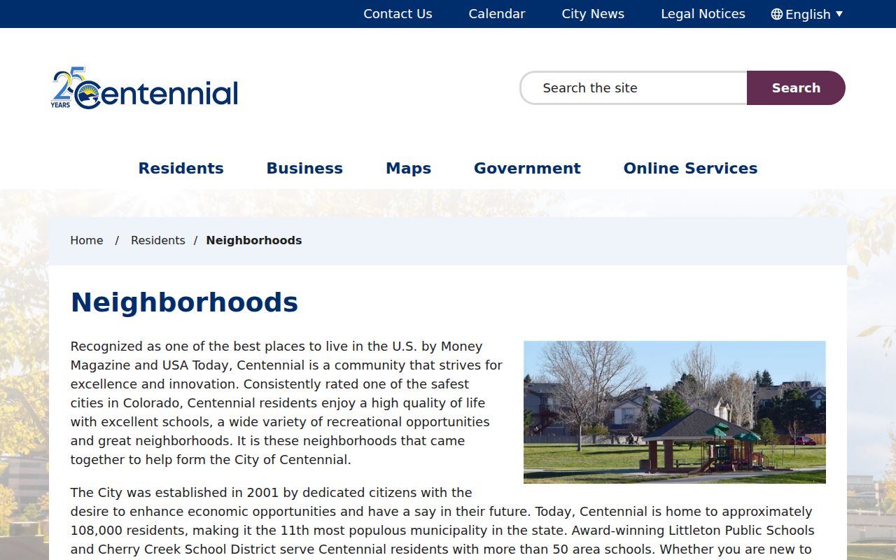
The neighborhood image shows why a block can be part of several overlapping public geographies at once.
Centennial Voter Presence
A voter file can add a dated public presence around a block, but it is not a household count. The Basic Voter List is updated each weekday except holidays. Other products add districts, voter history, details, ballot records, and rejected-cure files. Custom criteria can use a precinct, district, party, status, or named election.
Confidential voters and preregistered voters under 18 are excluded, as are protected fields such as Social Security numbers, driver-license or state-ID numbers, signatures, email, month and day of birth, and how a person voted. Absence from a list can reflect a confidentiality route, list type, file date, or status.
Use the Arapahoe voter lookup for a precinct or district question and the Arapahoe voter registration page for confidential-voter and update routes. The state data request form covers broader list products. State and county records should be described as “registered at the address on the dated file,” not as proof of current occupancy.
Centennial Service Districts
Schools, fire, water, council, and ZIP boundaries can explain why two neighbors use different public offices. The city says Littleton Public Schools and Cherry Creek School District serve Centennial, with more than 50 schools in or serving the city. That school geography does not replace the parcel line or a city boundary check.
Centennial’s landscape also changes by corridor. East Arapahoe Road or State Highway 88 runs east-west, while I-25 and South Parker Road divide practical travel and development patterns. Centennial NEXT describes residential areas west of I-25 and east of South Parker with business and entertainment uses between. These are place clues, not a list of occupants.
When a neighbor question involves service, write the district name and map source beside the address. Do not assume an HOA, ZIP, city, school, or fire boundary carries the same neighbors.
The city map collection supplies the boundary and district context that sits beside the parcel viewer.
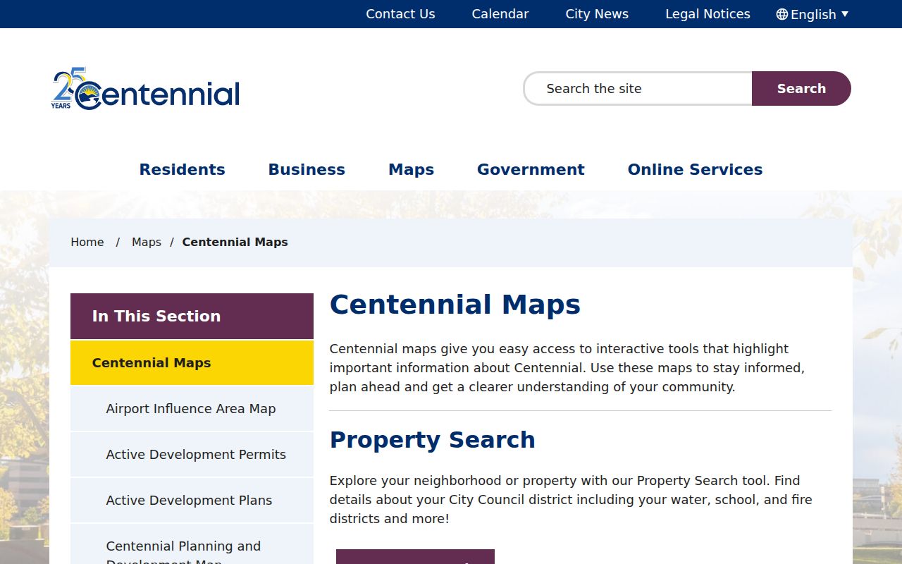
Use the map category and capture date to explain which overlay defined the neighbor set.
Centennial Multifamily Parcel Warnings
One parcel can represent more than one address. The county Address / Parcel Info tool may show only the first of several situs addresses in the assessor database. A street-number search can return a range or multiple parcels. Commercial and multifamily parcels may list a business, trust, or other entity as owner, and a mailing address may be elsewhere.
Before comparing neighbors, save the parcel ID, legal description, number of addresses, unit field, and map result. Do not treat the first address or first owner as the whole block. If a city record is needed, request the specific permit, planning, or meeting file instead of an inferred household list.
USPS can standardize the line, but the postal result is not proof that a person or company is at the address. The parcel, GIS, and custodian fields must remain separate.
Centennial Neighborhood Events
Public programs add useful local color without creating a member roll. The city’s April 2026 neighborhood-grant and movie-kit release describes an inflatable screen, projector, DVD, speakers, and cables, with a refundable $250 deposit and a once-per-year limit for movie nights between May 22 and September 4. The record shows how a neighborhood group interacts with the city, not who belongs to it.
SPARK Centennial, announced in May 2026, offered free Connect and Collab programming at four locations from May through August. These dated programs can help explain community activity around a block. Participant names should remain outside a neighbor lookup unless a named civic role is already public and relevant.
Use the official neighborhood release and the SPARK announcement for program dates and terms. Treat current program details as changeable.
Privacy Limits for Centennial Neighbors
A neighbor lookup cannot reveal every household member, delivery customer, utility account, or protected address. The Colorado Address Confidentiality Program gives eligible participants a legal substitute address and mail forwarding. Confidential voters are omitted from ordinary lists. Court, vital, juvenile, sealed, victim, and protected records may be restricted or redacted.
Code Compliance offers an anonymous reporting option, but the city warns that a reporter who provides contact information becomes part of the public record and cannot delete it. That warning matters when a block question begins with a complaint. Public status is not a reason to copy a person’s full record.
Official record layers
Named custodian, defined purpose, dated fields, parcel or district controls, and a stated access rule.
Commercial neighbor tools
May combine copied address and name data with uncertain dates. Treat a result as a lead, then verify with the official parcel, map, voter, or library source.
Lawful personal use. Centennial neighbors research is for understanding a block, reconnecting, civic curiosity, family history, or personal safety. Do not use names, maps, or addresses to stalk, harass, intimidate, or harm anyone.
When the need is the complete chain of one named street, switch to the street record workflow. When it is one person, use the role and date controls of a resident lookup.